It's only Day 1 at the rally here in Portsmouth, and the local weather is gorgeous. Highs will be in the 80s on Sunday, and the skies are crystal clear. While it's far too far into the future to try and predict the conditions for the planned Nov. 6 departure, we're already starting to look at the long-range trends, and are keeping a particularly close eye on the tropics. A strong frontal passage up north can make for messy weather offshore, but it's nothing a properly prepared fleet can't cope with. A late-season tropical storm or hurricane, however, is another story, and something we try to avoid at all costs.
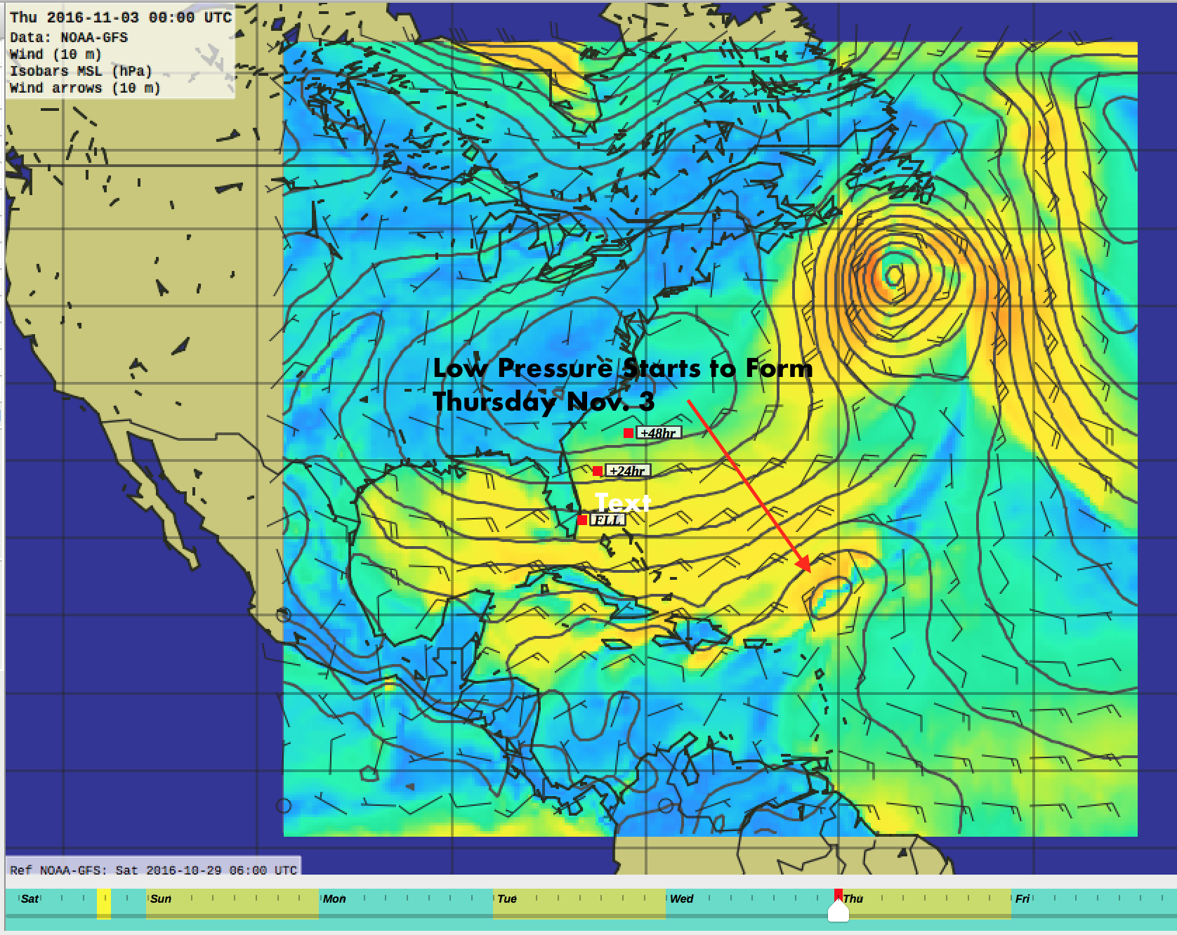
That said, the big picture weather looks favorable. Thursday into Friday next week a low pops up on the GRIB files east of the Bahamas, which we'll watch closely for any development. Weather Routing Inc, our forecasters for the rally (AKA WRI), have been issuing daily Tropical Outlooks, which we also monitor closely. Their latest is below:
WEATHER ROUTING INC.(WRI) PREPARED ATLANTIC TROPICAL SUMMARY
DATE PREPARED: October 29, 2016 - 12:18Z
TROPICAL ATLANTIC: Tropics remain quiet.
CARIBBEAN: A broad, low level circulation offshore the SE'rn Yucatan Peninsula will drift nw'ward while weakening over the SE'rn Yucatan Peninsula in the next 48 hours. Winds aloft are not conducive for tropical development during this time.
BAHAMAS: Tropics remain quiet.
GULF OF MEXICO: Tropics remain quiet.
WEATHER ROUTING'S EXTENDED FORECAST: Low pressure is forecast to develop along a trough near 22N/60W overnight the 02nd and track ne'ward to near 33N/45W on the 05th. This low will be monitored for any tropical or subtropical development over the coming days.
BEST REGARDS, WEATHER ROUTING INC. (WRI)